- Reclamation
- California-Great Basin
- Area Offices
- KBAO
- Natural Flow Study
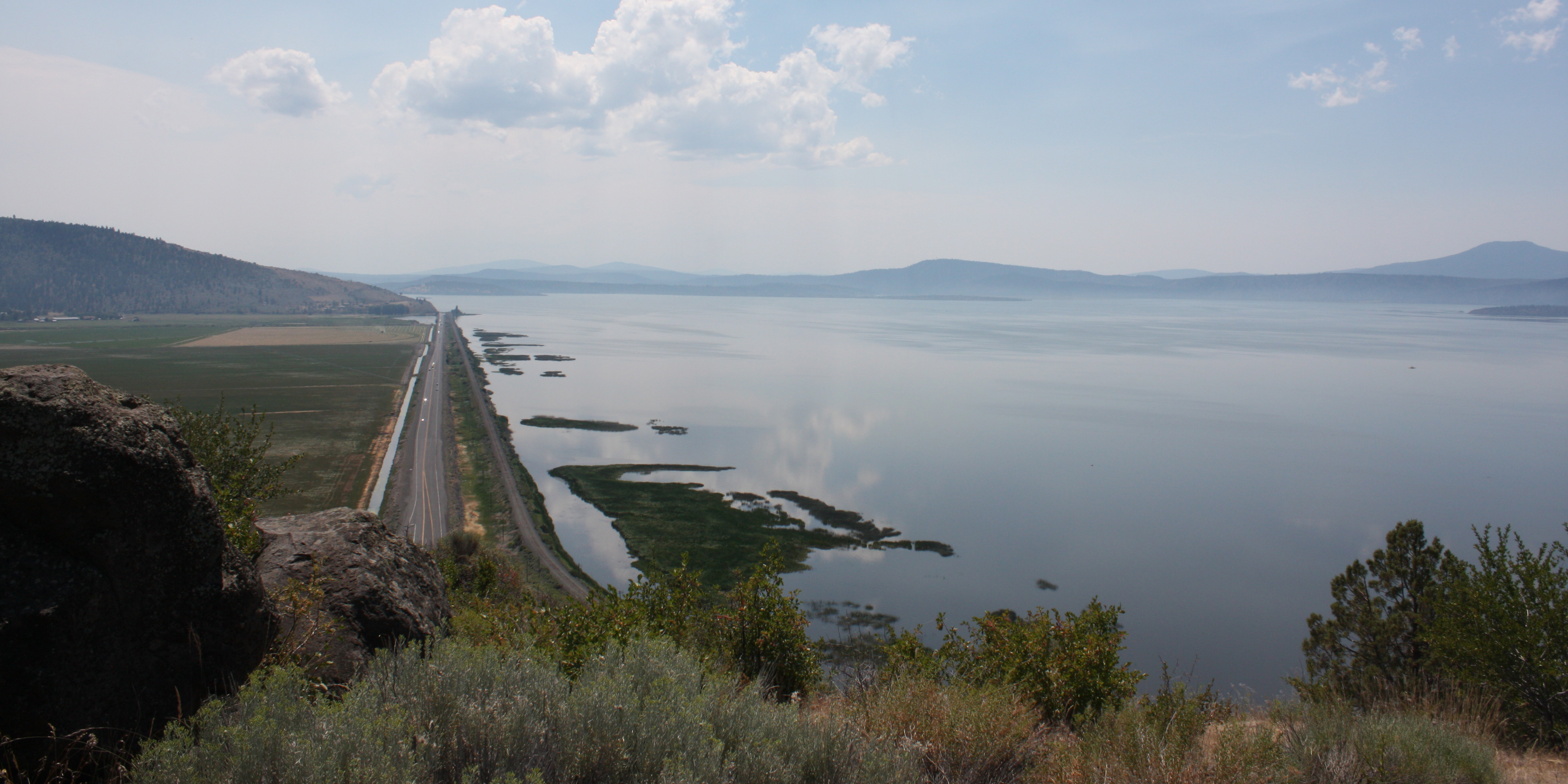
Klamath River Basin Revised Natural Flow Study
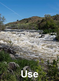
The Klamath River Basin Revised Natural Flow Study (Study) serves to improve our understanding of natural streamflow and the relationship between the Bureau of Reclamation's Klamath Project operations and aquatic ecosystems in the Klamath River Basin.
Overview
The Study is a multi•year scientific effort led by the Bureau of Reclamation (Reclamation) to better understand how water naturally moved through the Klamath River Basin before dams, irrigation systems, and other modern developments existed. Bringing together experts in surface water, groundwater, agriculture, and watershed science, the Study builds the most complete picture to date of the basin's natural hydrology.
The KNFS will reconstruct natural flow conditions using updated data, modern modeling tools, and detailed analysis of how water moves through the landscape.

This work will support fisheries and habitat restoration, improve scientific transparency, and provide a shared technical foundation for Tribes, agencies, and local communities.
Several major components of the study—including surface water modeling, groundwater modeling, evapotranspiration, agricultural water use, and system routing—are still in development. When completed, these elements will be combined into an integrated model that will offer basin‑wide estimates of natural flow.
Results from the study models will help inform future decisions related to operations of the Klamath Project and the management of Upper Klamath Lake and the Klamath River.
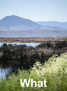
Background
Reclamation completed a Natural Flow Study in 2005, using the best tools and data available at the time. Since then, hydrologic science has evolved significantly. The National Research Council (NRC) and Basin partners identified the need for a more complete, updated assessment using improved data, better computing capacity, and a longer hydrologic record. The present Study revisits natural flow using a full climate and hydrology record from 1987-2020, modem models, expanded datasets, and updated agricultural and groundwater analyses.
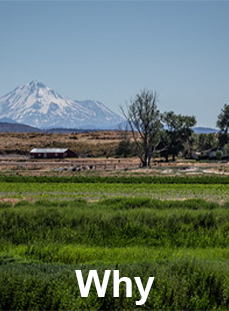
Purpose and Technical Framework
The overarching purpose of the Study is to leverage current science, methods, and toots to develop natural streamflow estimates. This effort will address known limitations of previous estimates in Reclamation's previous work in 2005. and incorporate and address feedback recommended by the NRC in 2008.
Information gathered will support decision-making allows for a technical foundation for Reclamation and its partners to learn and discuss operations in the Klamath Basin. Specifically, the natural streamflow estimates and provides numerical modeling tools may be used for:
- Habitat suitability studies
- Drought planning
- Streamflow forecasting
- Water operations models
- Future biological assessments
- Operational decision making
- Model present-day system conditions and “What if” scenarios
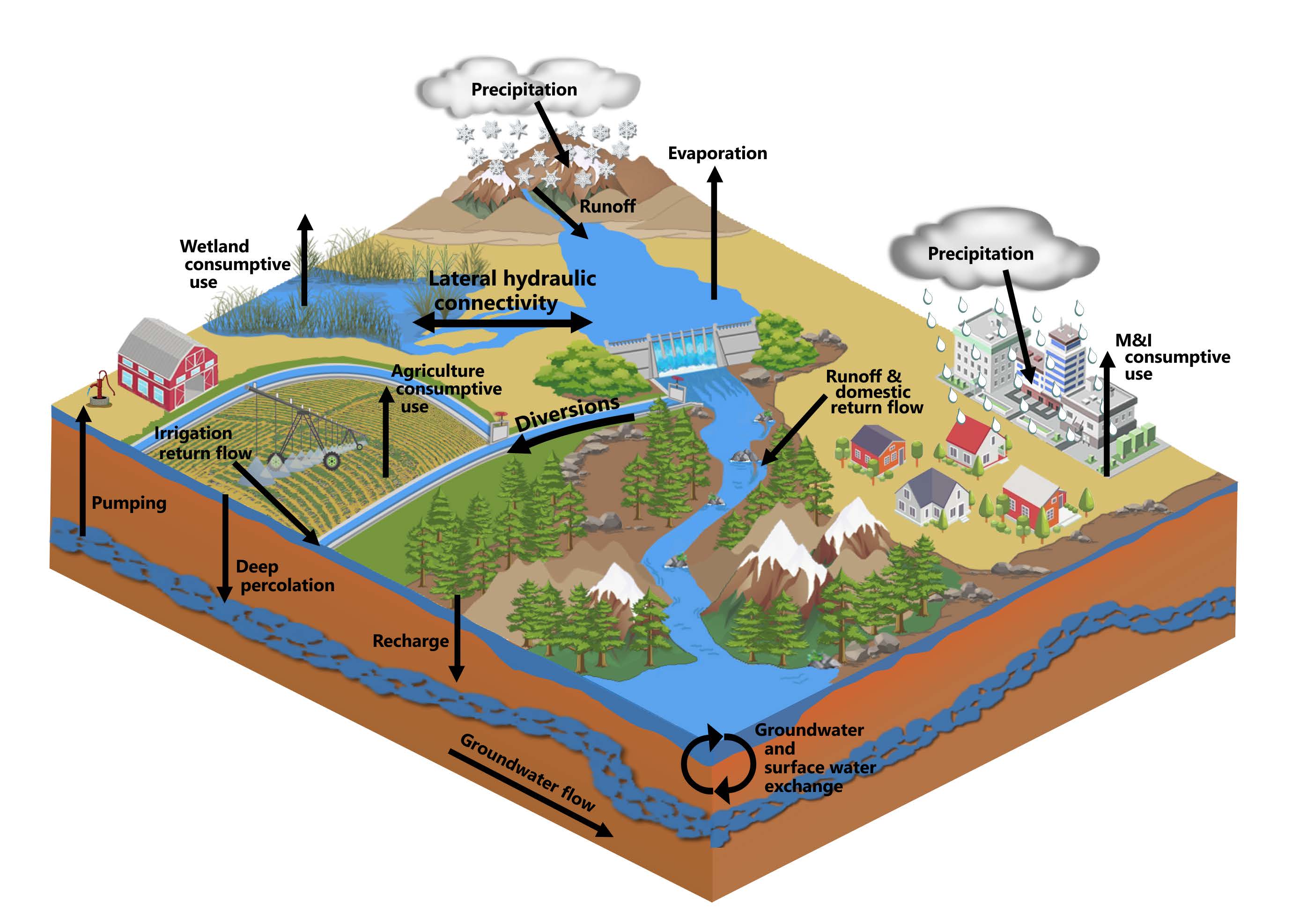
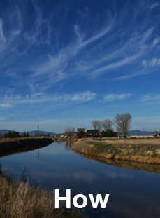
The Study estimates for the Upper Basin (above former Iron Gate Dam) will be developed by leveraging seven modeling platforms:
- Open Water Evaporation
- Surface Water Hydraulics
- Agricultural & Groundwater Data Investigations
- Evapotranspiration
- Surface Water Hydrology
- Groundwater*
- Mass Balance Assessment*
*Forthcoming
Engagement
Technical transparency and stakeholder engagement are pillars of the success of this Study. If you would like to be added to the stakeholder briefings and Project mailing list click here.
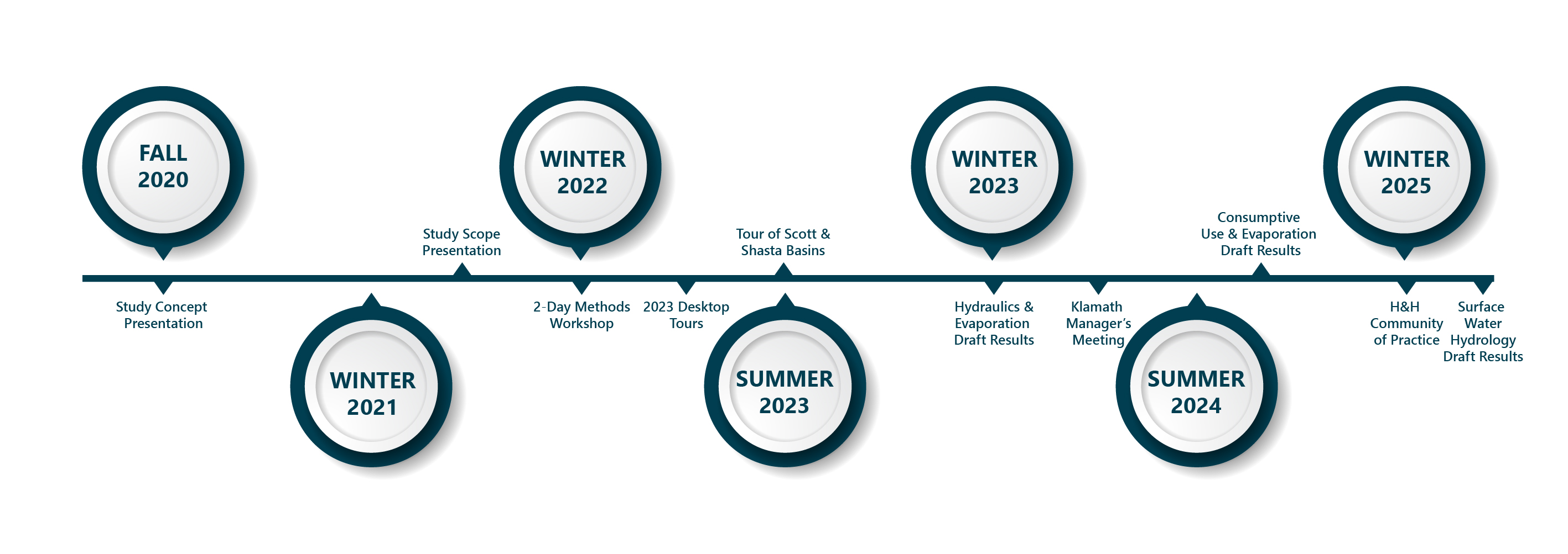
Project Timeline
Historic stakeholder events and major milestones can be found in the timeline below.
Additional Resources
Fact Sheets (Updates forthcoming)
- Combined file with all Fact Sheets
- Study Overview
- Evapotranspiration Modeling
- Surface Hydrology Modeling
- Groundwater Flow Modeling
- Hydraulic Modeling
- Open Water Evaporation Modeling
- RiverWare Mass Balance Modeling
Maps & Figures
- Combined file with all Maps
- Klamath River Basin
- Natural Streamflow Locations
- Upper Klamath Lake Schematic
- Data Surveys Over Time 1905-2020
- Topographic Changes
- Existing Agricultural Lands - Current Conditions
- Wetland and Other Phreatophyte Areas - Pre-development
- Wetland and Other Phreatophyte Areas - Current Conditions
For additional archived Study material see: Archive
