
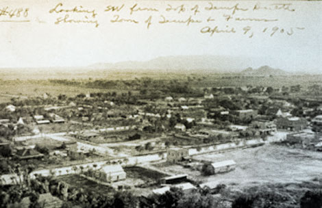
 A 1905 view of Tempe looking southwest from Tempe Butte. Linear alignments of trees usually indicate open canals and ditches. (Reclamation photograph)
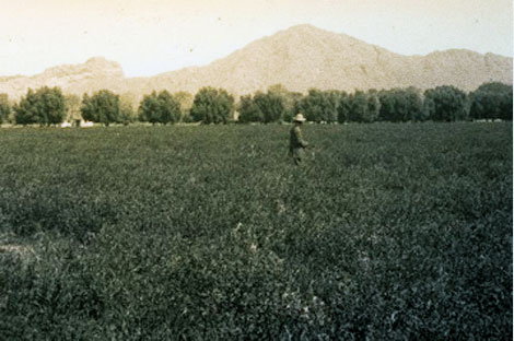 A 1909 view of an alfalfa field with olive hedge fence. (Reclamation photograph)
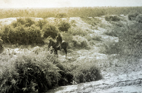 The horseman is riding in a prehistoric Hohokam irrigation canal near Mesa, 1907. (Reclamation photograph)
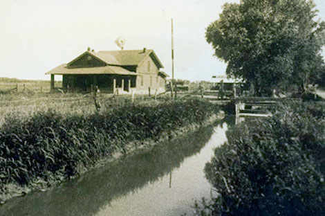 Farm home and irrigation lateral two miles west of Mesa, early 1900s. (Reclamation photograph)
 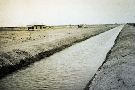 Desert homestead along the Eastern Canal three miles east of Mesa, 1910. (Reclamation photograph)
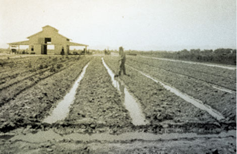 Furrow irrigation on Mr. A.B. Fowler's Ranch, 1911. (Reclamation photograph)
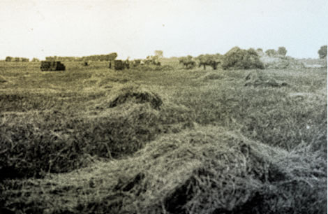 Irrigation turned former desert into productive agricultural land as this hay field near Chandler illustrates, 1906. (Reclamation photograph)
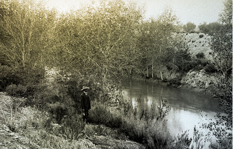 A prehistoric Hohokam canal has been incorporated into the Consolidated Canal in the eastern Salt River Valley, 1906. (Reclamation photograph)
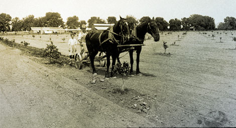 This young orange grove near Camelback Mountain is located on desert soil and receives water from the Arizona Canal. John Wesley Powell's idea to classify lands by their resources was an attempt to ensure that lands with good soil conditions were made available for cultivation. These lands offered a better chance for success by farmers. Land classification eventually became a requirement by the U.S. Reclamation Service (and later the Bureau of Reclamation) for new irrigation projects. (Reclamation photograph)
 Flooding on the Salt River created havoc for farmers as well as the Santa Fe Railroad. Floods damaged head gates, washed away diversion dams, and silted-in canals. Scenes like this ultimately led to the request for Federal assistance to build a dam on the Salt. 1905. (U.S. Reclamation Service)
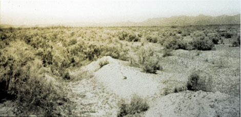 Several miles east of Phoenix, formerly cultivated land has returned to desert. A lateral, visible in the foreground, lies useless because of a lack of water. Droughts, floods, and erratic river flows would plague Salt River Valley farmers until a dam was built to tame the river and some formal organization formed to promote equitable water management, 1902. ( Reclamation photograph)
 [ Return to Top ]