- Reclamation
- Missouri Basin and Arkansas-Rio Grande-Texas Gulf
- AgriMet
- Moccasin, Montana
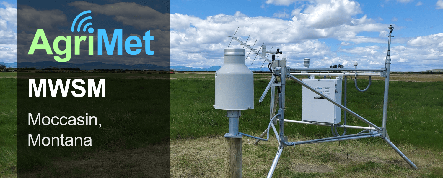
AgriMet Station MWSM, at Moccasin, Montana
Station Information
Station: MWSM - Moccasin, Montana Location: Moccasin, MT (47.0589, -109.95083) Elevation: 4243 ft Timezone: US/Mountain Installed: 2001-06-21Note: The AgriMet web page was recently re-designed. For access to the old web pages, click here.
Current Conditions
Temperature and Humidity
Temperature and humidity measurements are averaged over a 15-minute period. Dew point temperatures are computed for each period.Precipitation
A weighing precipiation gage measures the amount of liquid and solid precipitation that occured in the last hour.Wind Speed
Average wind speeds are measured at an hourly time scale. Maximum wind gusts are reported every 15 minutes.Solar Radiation
A pyranometer measures shortwave solar radiation (langelys). Values below the clear sky theoretical radiation level indicate cloud cover or other atmospheric pollution. Values above the clear sky radiation level can occur in partly cloudy conditions with highly reflective clouds.Historical Data
Use the form below to download historical data for this station. Information about AgriMet parameters can be found here. Alternatively, use the Web Services documentation to learn how to request more specialized data.
Dayfiles Information:
Enter date and parameter codes then submit your request.
Station Instrumentation
This AgriMet station is equipped with the following sensors and instrumentation:
- Campbell Scientific CR1000 Datalogger
- Ott Pluvio2 L400 Precipitation Gage
- Vaisala HMP110 Temperature and Humidity Probe
- R.M. Young 05103 Wind Monitor
- Licor LI200R Pyranometer
Instrumentation Notes
Ott Pluvio installed in April 2019.Vaisala HMP110 installed summer 2019
Crop Water Data
For further information about AgriMet, contact: mbwebmaster.
