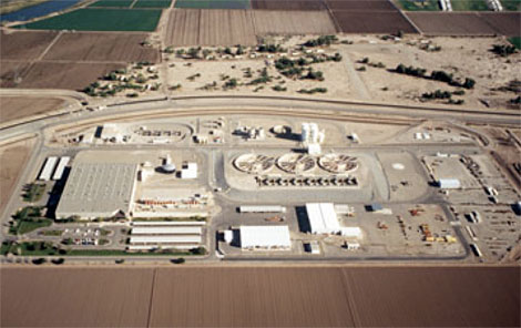
 Aerial view of Yuma Desalting Plant Complex. (Reclamation photograph)
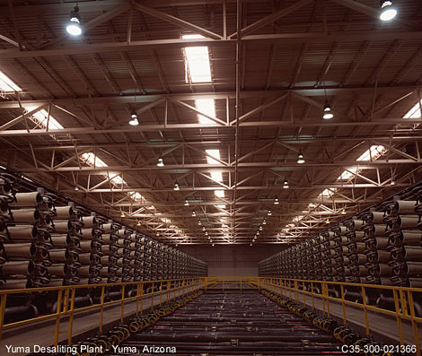 Yuma Desalting Plant. (Reclamation photograph)
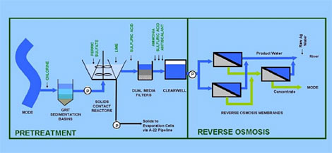 Generalized Schematic of YDP Process.
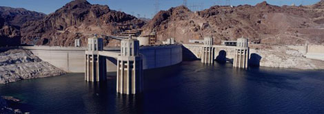 The extended drought in the Southwest motivated Reclamation to develop a thoughtful plan to address the challenges posed by possible water shortages. (Reclamation photograph)
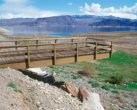 A once popular fishing pier stretches over dry land far from the water's edge at Lake Mead. (Reclamation photograph)
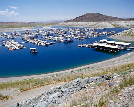 This marina in Lake Mead was relocated in 2006 as lowering reservoir levels closed off the cove's access to the lake. The years 2000-2010 were the driest 11-year period in the 100-year historical record of the Colorado River. (Reclamation photograph)
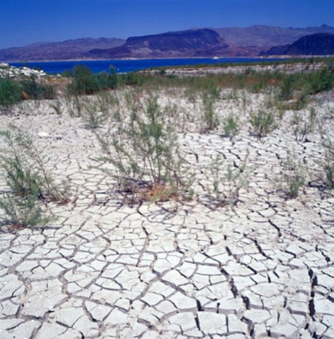 Between January 2000 and December 2010, Lake Mead dropped nearly 128 feet, exposing acres of land that were previously covered by water. (Reclamation photograph)
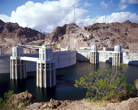 In November 2010, Lake Mead fell to elevation 1081.85, the lowest level ever reached since the lake began filling in 1935. (When full, the reservoir is at elevation 1219 feet above sea level.) (Reclamation photograph)
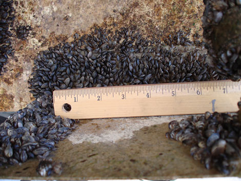 Quagga Mussels attached to a Reclamation boat. (Reclamation photograph)
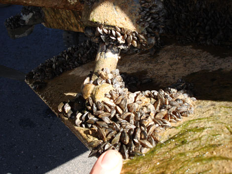 Quagga Mussels attached to a Reclamation boat. (Reclamation photograph)
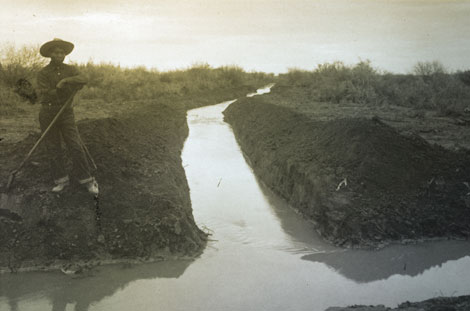 A Pima man in Sacaton works on an irrigation canal. Tribal water rights issues in Arizona date back to the earliest days of settlement by Anglo Americans. (Reclamation photograph)
[ Return to Top ]