- Reclamation
- Columbia-Pacific Northwest Region
- Environmental Documents
- Mountain View 230 kV Transmission Line Project
Wanapum – Mountain View 230-kV Transmission Line Project
National Historic Preservation Act Section 106 Public Comment Notice
In compliance with Section 106 of the National Historic Preservation Act, the Bureau of Reclamation is soliciting comments on a proposed undertaking in Grant County, Washington This public notice provides an opportunity to express their views on the undertaking’s effects on historic properties.
Description of the proposed undertaking
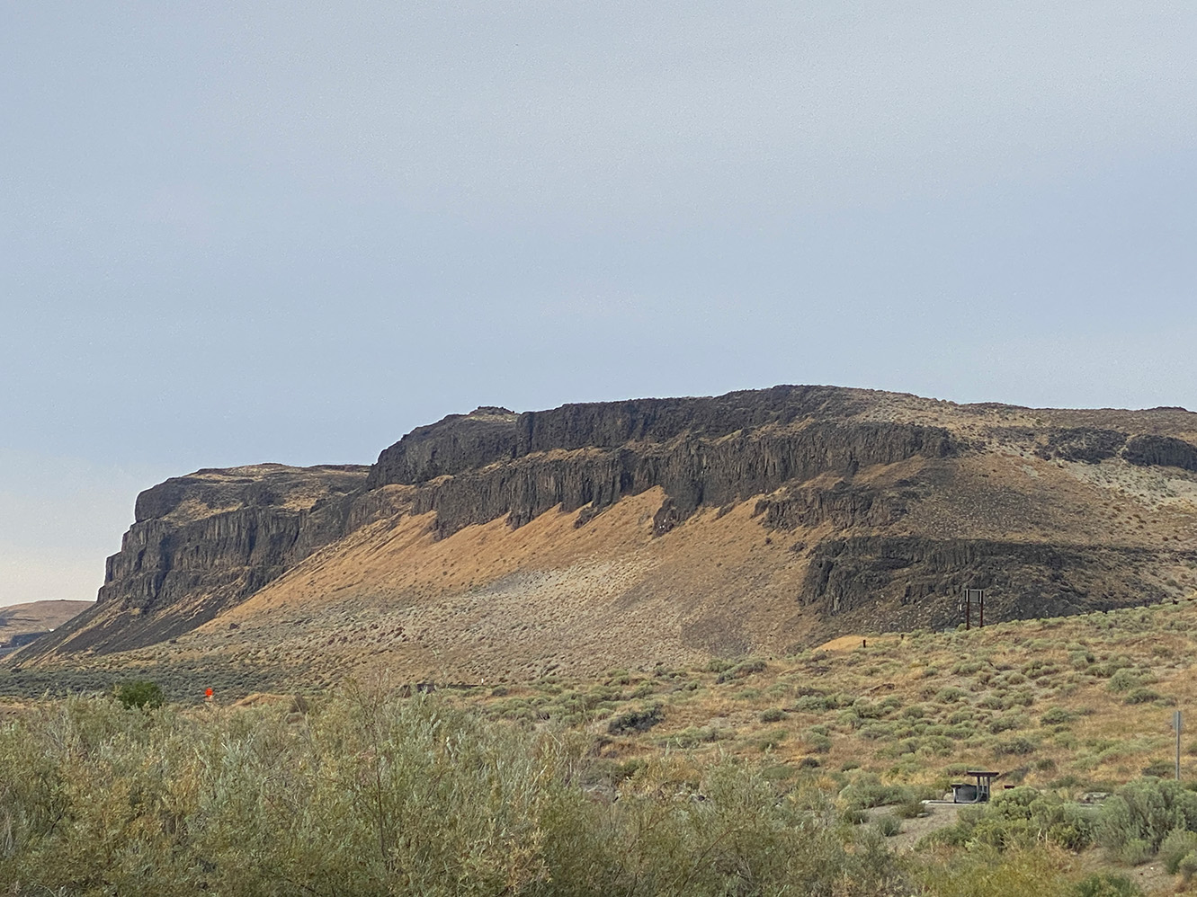
Public Utility District No. 2 of Grant County proposes to construct an approximately 32 mile, 230 kilovolt (transmission line extending from the Wanapum Switchyard to the Mountain View Substation near Quincy, Washington. The project would require a land-use authorization to cross Reclamation managed lands.
Project activities include:
- Installing new transmission structures and relocating distribution lines as needed.
- Constructing, improving, or upgrading access roads.
- Establishing temporary material storage areas.
- Making improvements to existing distribution connections.
The transmission line would utilize a combination of steel monopoles, double-pole, three pole, and H frame steel structures depending on location. Most structures would be installed in excavated holes and backfilled with native soils and gravel. Construction work zones and right of way widths would vary by structure type and be located within existing or newly acquired easements.
Access would rely on existing dirt or gravel roads whenever possible. Improvements would be limited to previously disturbed unpaved routes and may include adding gravel or regrading. New access roads may be required in some areas and could be up to 30 feet wide, though widths would be reduced (as narrow as 14 feet) in sensitive areas such as wetlands. Temporary matting or other mitigation measures may be used as appropriate. All temporarily disturbed areas would be reseeded with a native seed mixture to restore habitat.
Area of Potential Effects
Reclamation has defined the Area of Potential Effects as the full 32 mile project corridor. The APE includes:
- All locations where new transmission structures would be installed, with structure height, footprint size, and disturbance area varying by location.
- Areas where Grant PUD equipment would be staged within existing PUD facilities.
- All access roads necessary for construction, including existing roads and new road segments.
- Road work areas would be bladed, graded, or receive added rock to create permanent gravel roads.
Click here to see a map of the APE.
Assessment of Effect
Reclamation will have the assessment of the effects forthcoming. Once completed, the document will be posted on this website for additional public review and input.
Comment Period
Reclamation invites the public to provide comments, including any information about cultural resources within the APE that may assist in the identification of historic properties or help us better understand potential project effects.
Written correspondence on this undertaking must be submitted to wanmv230@usbr.gov by June 12, 2026.
| 05/2026 | APE Maps PDF 1.1MB |
Contact
Jason Sutter
Natural Resource Specialist
208-270-5921
wanmv230@usbr.gov
Bureau of Reclamation
Columbia–Pacific Northwest Region
1150 N. Curtis Road
Boise, Idaho 83706
Josef Iwanicki
Archeologist
509-754-0213
wanmv230@usbr.gov
Bureau of Reclamation
Ephrata Field Office
32 C St. NW
Ephrata, WA 98823
