- Reclamation
- Upper Colorado
- Albuquerque Office
- Albuquerque Water Operations
- Nambe Falls Dam and Reservoir
Nambe Falls Dam and Reservoir

GENERAL
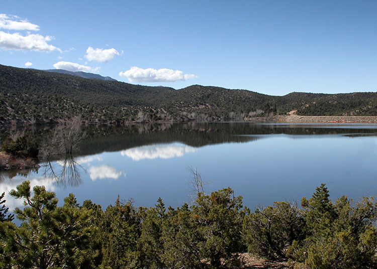
- Nambe Falls Dam, a concrete and earth embankment structure is 150 feet high. Construction began on June 13, 1974 and was completed on June 28, 1976. The storage reservoir provides supplemental irrigation for the Pojoaque Valley Irrigation District and the pueblos of San Ildefonso, Nambe, and Pojoaque.
- The dam is located about 300 feet upstream from Nambe Falls which forms the sharp break between the Sangre de Cristo mountains on the east and the Espanola Basin on the west. The dam is situated in a 500-foot-long southwesterly trending gorge. The concrete arch dam and thrust block are founded on a northeasterly trending fault slice of Precambrian Embudo granite complex (consisting of granite and granite gneiss with intrusive pegmatite and inclusions of schist and gneiss)
**** All data are provisional and subject to revision as final data are collected and analyzed. ****
Additional Information
Reservoir Data
Streamflow Data
Operational Documents
Project Information
Contact
Please contact the Operations Group via e-mail at ResourceMgr@usbr.gov for additional information.

