- Reclamation
- Columbia-Pacific Northwest Region
- Hydromet
- General Information
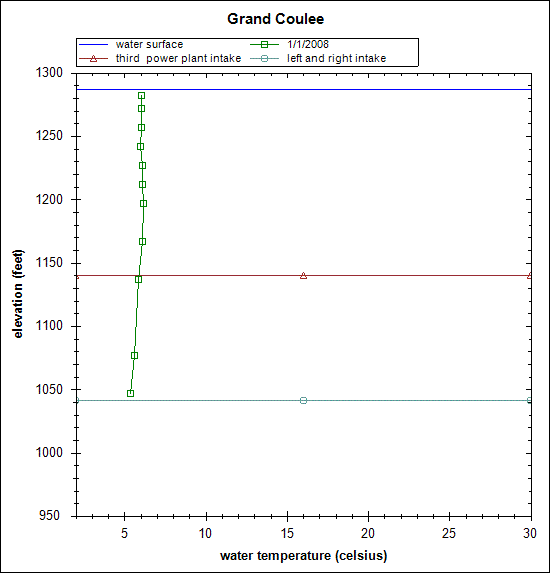
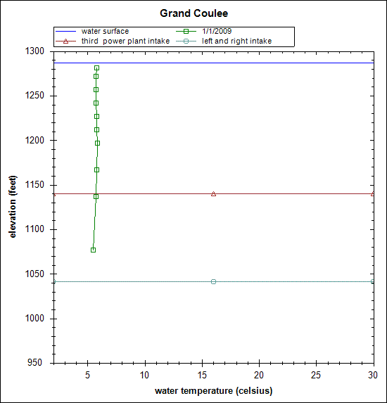
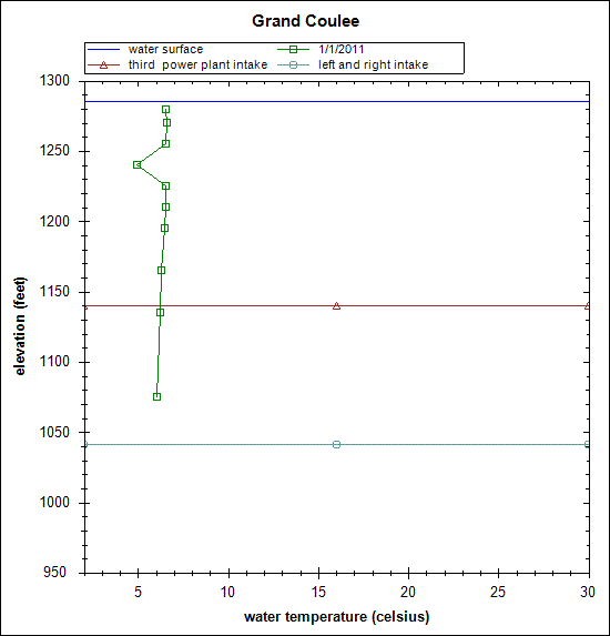
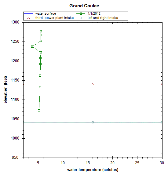
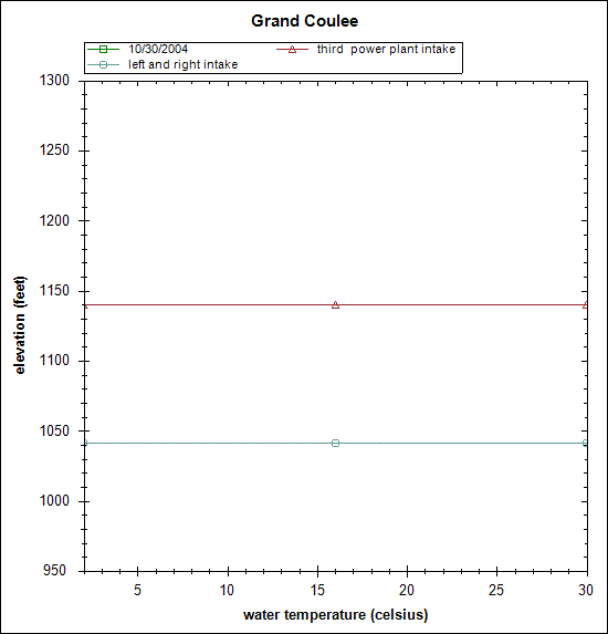
Grand Coulee Dam Forebay Vertical Temperature Profiles
Data were collected from a string of temperature loggers from 1999-2017. The string was hung from a log boom approximately 2000 feet upstream of Grand Coulee Dam. Temperature data were collected at the following elevations (in feet): 5’, 15’, 30’, 45’, 60’, 75’, 90’, 120’, 150’, 180’, 240’, 270’, and 300’. Sensor elevations are referenced from water surface (0’) and NOT distance from the lake bottom; therefore, 240’, 270’ and 300’ readings may not be available at lower forebay surface elevations. Hourly forebay elevations are also included in the dataset.
Basic quality assurance has been performed to remove any anomalous readings such as temperature readings while loggers were outside of the waterbody; however, this data should be considered provisional. No guarantee is made for its accuracy.
Basic quality assurance has been performed to remove any anomalous readings such as temperature readings while loggers were outside of the waterbody; however, this data should be considered provisional. No guarantee is made for its accuracy.
Thermal Regime of the Columbia River at Lake Roosevelt
Spreadsheet of Water Temperature profile. (~12 MB)
2005
2006
2007
2008
2009
2010
2011
2012
2015
