Bureau of Reclamation Mid-Pacific Region Banner
Reclamation Home             Regional Offices             Newsroom             Library             Dataweb


Bureau of Reclamation, Mid Pacific Region
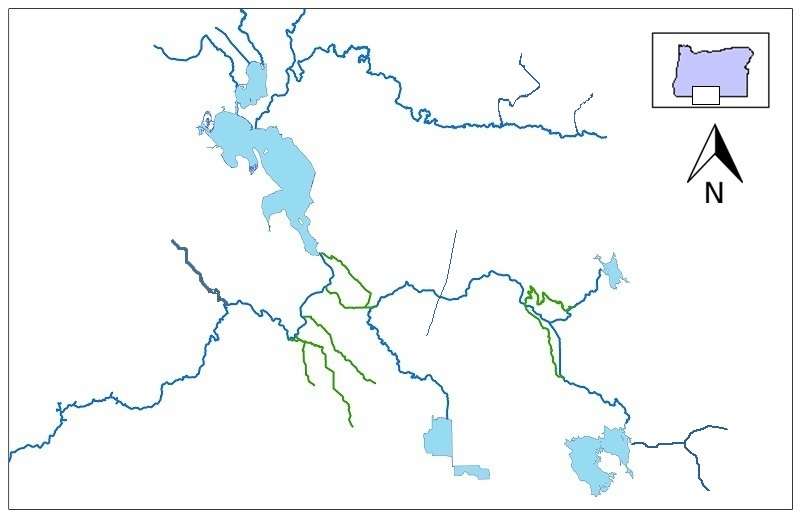
Major Storage Reservoirs in the Klamath River Basin

image of major klamath water features with clickable stream gages image of major klamath water features with clickable stream gages klamath Gerber Reservoir Clear Lake West Lobe Upper Klamath Lake Elevation Clear Lake West Lobe Gerber Reservoir Langell Valley North Canal Sprague river Spencer Creek SF Sprague River  SF Sprague River nr Bly NF Sprague River Sycan River Willow Creek Williamson River Below Sprague River Near Chiloquin, OR Wood River Near Klamath Agency, OR A Canal Headworks, OR(ACHO) Link River at Klamath Falls, OR Miller Hill Pump Plant, OR(MHPO) Lost River Diversion (LRD) Lost River at Harpold Dam (HRPO) Lost River bel Clear Lake Dam (LRSC) Malone Reservoir (MAL) West Canal (MAL) North Canal at Highway 97, Near Midland, OR Cherry Creek near Fort Klamath, OR Klamath Straits Drain Near Worden, OR ADY Canal at Highway 97,
	    Neart Worden, OR ADY Canal Above Lower Klamath NWR, Near Worden, OR Klamath River at Keno, OR Klamath R BL Iron Gate Dam CA Tule Lake Station 48

PROVISIONAL DATA - SUBJECT TO CHANGE!

Streamflows indicated in cubic feet per second.
Reservoir volumes are indicated in acre-ft.
Click on gaging stations (red dots) for streamflow hydrographs.
Map is not to scale.

Klamath Project Information
Klamath Hydromet
If you see this that means that your browser doesn't support the cool new HTML5 canvas elements. Boy are you missing out! You might want to upgrade.